EKFB’s Public Rights of Way interactive map
Just released - an interactive footpath and bridleway map, updated as they reopen after HS2 works. Also includes a User Guide video.
Published: 6 November 2026
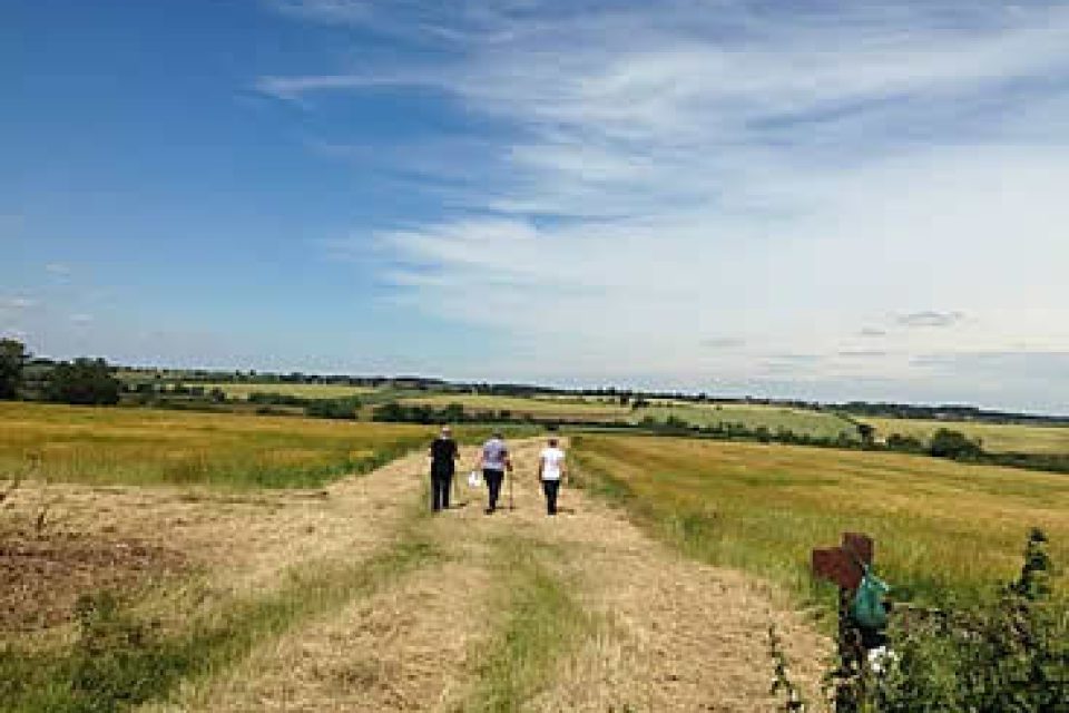
“This application displays Public Rights of Ways along HS2 route alignment in Buckinghamshire, Oxfordshire, West Northamptonshire and Warwickshire, with updated information on route closures and diversions along the HS2 route displayed in this map. Please note: Any route closures outside of the HS2 works are not displayed.
Contains public sector information licensed under the Open Government Licence v3.0″
Please visit https://experience.arcgis.com/experience/1fa8ec7b97c848b3b103a8ec5a1bc732 or https://prow.ekfb.com
There is a User Guide video at https://vimeo.com/1230864436/ea5aed59a4?share=copy&fl=sv&fe=ci
The map will display your current location, if enabled on the device.